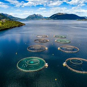
NOAA\'s National Ocean Service\'s science program has launched the Coastal Aquaculture Planning Portal (CAPP), a tool designed to assist in the planning and siting of coastal aquaculture facilities.
Developed in partnership with NOS\'s Digital Coast, the CAPP features more than 20 tools that have applications for planning and siting of aquaculture operations and industries. It was specifically designed to assist managers, planners, and industry with siting aquaculture facilities in locations best suited for aquaculture and that avoid conflicts with other uses and sensitive ecological areas.
The portal features tools such as CanVis that provide users with the ability to forecast seascape change due to aquaculture, a sea-level rise viewer allows the prediction of rising sea level on farming and management practices, and the habitat priority planner helps the user identify sensitive habitats that need to be avoided during aquaculture siting.
Learn more about NOS\'s coastal aquaculture siting and sustainability efforts